
Town of Ossining Neighbors by Block
For Town of Ossining neighbors, each source has a narrow role. A map can place the subject parcel beside adjoining parcels. A property record can show an owner field or a mailing field for a dated tax record. Planning files can explain a public application or district layer. Historical maps can show former buildings by year. None of those sources proves every person connected to a nearby address.
| Source | Block-level value | Access and limit |
|---|---|---|
| Westchester GIS | Adjacent parcels, districts, flood, wetland, sewer, and other map context | Public map service; parcel lines are approximate. |
| Village GIS mapping | SBL, property fields, easements, rights of way, and sewer information | Planning map and staff route; confirm jurisdiction. |
| Village CivicWeb | Agendas, minutes, boards, hearings, and public proposals | Meeting portal; confirm an adopted record with the clerk. |
| Municipal permit records | Application, inspection, and status context by parcel | Village CitySquared for recent history or a department request for older files. |
| Historic maps and directories | Former buildings or address clues with a defined year | Archives, WCHS, library, and genealogy routes; historical evidence only. |
| Community organizations | Public organization contacts and local history leads | Use an official public contact, never a private member list. |
Start with the source that can answer the exact question. The adjacent-parcel view is a map discovery tool, not a title decision. For title or an assessment question, preserve the SBL and then ask the Town, Village, County Clerk, or assessor that holds the relevant dated record.
Town of Ossining Parcel Map Trail
Open the subject address in County or Village GIS, click the parcel, and record its Section-Block-Lot identifier before opening another result. Then pan only to parcels that touch the subject parcel or the same block face. The County map can be explored parcel by parcel, but any measure or radius display is map context. It is not a list of households.
Keep the municipality beside every SBL. The Town and Village of Ossining are distinct local governments, and a nearby Briarcliff Manor mailing label needs its own town check. If the viewer shows a Town of Mount Pleasant result, retain that result as a separate jurisdiction rather than folding it into Town of Ossining. The 10510 postal context is especially important because Briarcliff Manor extends into both towns.
- Locate the address and record the printed address, municipality, SBL, roll or spatial year, and source URL.
- Use identify for each adjoining parcel and preserve the same fields before moving to a separate property result.
- Compare the map owner field with a dated assessor or tax record, labeling the role as shown rather than assuming occupancy.
- Use recorded land records or the custodian for a title question, and retain the document date with the parcel notes.
Town of Ossining GIS Layer Context
Town of Ossining neighbors research gains useful geographic context from public layers without turning a map into a personal profile. Westchester's parcel layer identifies fields such as municipal parcel ID, SWIS/SBL ID, owner type, primary owner, additional owner, roll year, spatial year, calculated acres, and shape. The same services can show land use, zoning, floodplain, wetlands, steep slopes, water, sewer, drainage, and school or fire districts.
These layers have different meanings. An environmental layer provides planning context, not a title or hazard determination. A sewer or water layer does not expose private customer account data. District lines can differ from a postal place. When a property connection matters, cross-check the map result with the relevant assessor record and note the map vintage.
Town of Ossining CivicWeb Records
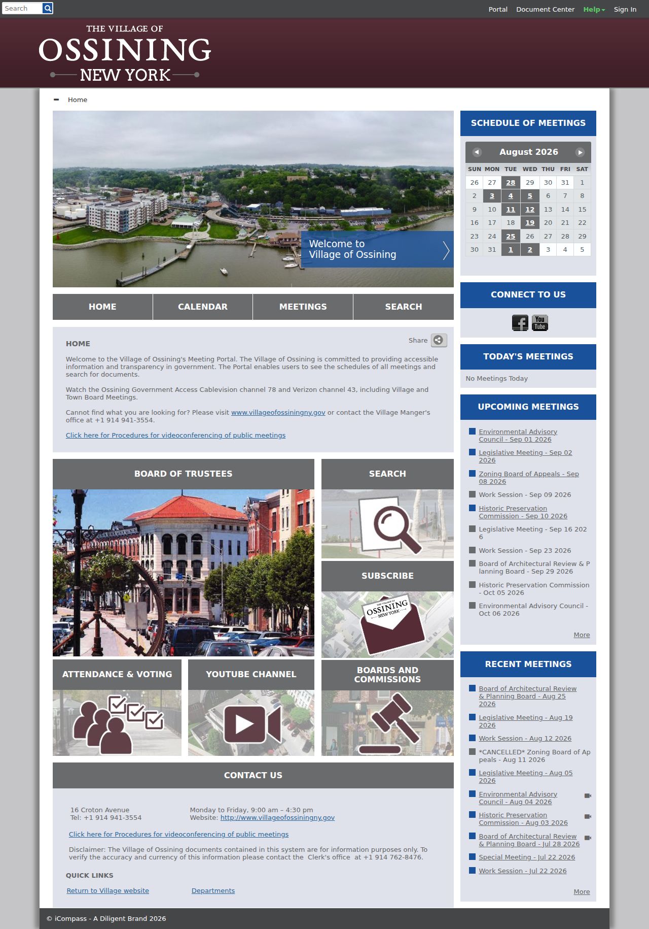
Public meeting material can explain activity around a Town of Ossining block without identifying private households. Village CivicWeb supplies a searchable calendar and document portal for agendas, minutes, participation material, boards, and public proposals. The portal asks users to verify information with the clerk. For portal questions, the Village lists the clerk at (914) 762-8476.
The Village CivicWeb portal is the source shown in this record-access image.
A meeting document may be a useful lead, but it may not be the complete official record. Confirm the final resolution, minutes, or clerk-held file before relying on the record's status.
Village CitySquared began on September 5, 2023, so it is the Village route for recent permits, inspections, applications, and status information. Older Village material can remain with the department. The Town Building Department is the route for unincorporated Town parcels. Ask the correct department whether a particular year is online, scanned, or available through a bounded FOIL request.
Town of Ossining Community Contacts
Public organization leads can make a block search more useful for local history and civic context. The Village Planning and comprehensive-plan materials identify several organizations by name, including the Sparta Association, Kemey's Cove Association, Scarborough Manor Association, and Ossining Historic Cemeteries Conservancy. Those materials identify institutions, not current membership. Use an organization's official public contact, a public meeting notice, or a repository finding aid for the next step.
| Organization lead | Public research use | Care needed |
|---|---|---|
| Sparta Association | Neighborhood and historical-context lead named in Village planning material | Look for an official public contact or published event notice, not member data. |
| Kemey's Cove Association | Community organization lead for local context | Do not infer who belongs from a neighborhood label or an event. |
| Scarborough Manor Association | Scarborough-area public organization lead | Keep the Briarcliff Manor postal label separate from the municipal parcel field. |
| Ossining Historic Cemeteries Conservancy | Heritage and cemetery-history lead | Use repository or official organization material to verify a historical claim. |
The Village Planning Department is the municipal route for the public planning context behind these organization names. A group name alone does not prove a current connection between a person and the organization.
Map a Town of Ossining Block
A careful block method stays close to the subject parcel. It uses the parcel sequence, public map layers, and dated government records. It does not infer every occupant, visitor, delivery customer, or protected person from a location on the map. For a broader named-street record trail, use the separate street resource after the immediate block has been identified.
Address as printed → County or Village GIS → subject SBL and municipality → adjoining SBLs → dated assessor, clerk, or permit record → source-specific conclusion.
Parcel roles matter. A map owner field can lag a recorded deed. A tax record can display a mailing role that differs from the parcel location. An estate, trust, corporation, or representative must remain labeled exactly as the record presents it. For a full road-by-road sequence, the Town of Ossining Street Directory follows the address chain without treating a block map as a household list.
Town of Ossining Voter Boundaries
New York's public-facing voter lookup is a person-level status tool. It asks for identifying inputs, including name, date of birth, county, and ZIP. It is not a public street-browse tool for Town of Ossining neighbors. New York Election Law makes registration records public with important exclusions, and annual lists have statutory inspection and copying rules. The State Board of Elections also warns that voter-registration data cannot be used for non-election purposes.
| Official record route | Commercial neighbor category | Practical difference |
|---|---|---|
| Custodian-held records with stated scope, date, and access rule | Paid compilations of public and purchased data | Official material can still be limited, but its agency and record type are identifiable. |
| Parcel, planning, meeting, or election source checked for its own purpose | Combined profiles with uncertain update dates and same-name risk | Keep sources separate instead of treating a compiled result as proof. |
| Defined request or lookup with a lawful purpose | Broad personal-profile claims | Use the least intrusive official channel and retain the result's date and role. |
For civic-history research, request only a defined election district, year, record type, and inspection or copy format from the appropriate office. Sensitive fields are excluded, and an old registration list can predate a move. It should not be republished as a present block list.
Town of Ossining Neighbor Privacy
Public parcel ownership is not the same as a roster of everyone at an address. Household members, visitors, utility customers, delivery customers, protected voters, and Address Confidentiality Program participants should not be inferred from a map or combined records. The New York Address Confidentiality Program can give eligible people a substitute address, and covered agencies follow rules that protect the actual address. Never try to reverse that protection by comparing public sources.
The New York DOCCS Inmate Lookup is shown below only as a specialized state custody lookup with distinct limits.
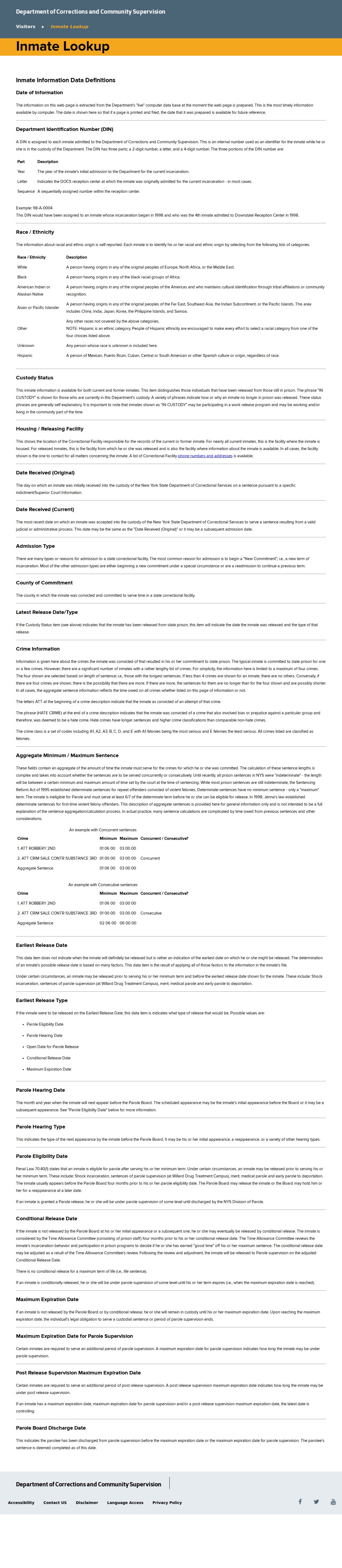
A DOCCS result may show state custody or facility status. It is not a Town of Ossining neighbor record, a current-residence record, or a local booking list. Do not merge it with an address search or use an absent result to draw a conclusion.