
Finding Town of Ossining Addresses by Street
Use the street address to find the parcel first. AxisGIS and the Town and Village mapping routes can supply a Section-Block-Lot, often shortened to SBL, plus a displayed owner field and parcel context. That key is stronger than a street name alone because a road can cross municipal lines or appear under a postal label that differs from its governing town. Westchester County GIS can then help place the parcel among nearby lots and public district layers. The County cautions that its parcel boundaries are approximate and are not a survey.
Ownership and occupancy should not be treated as the same fact. A tax card can show a mailing address that belongs to an agent, estate, trust, or business. A deed identifies parties to a recorded transfer. A dated directory can offer an historical address clue. Preserve each source's date and role before joining the results.
- Search the address in AxisGIS or the municipal parcel route. Record the street spelling, municipality, SBL, displayed owner field, property class, and map or roll year.
- Open the same parcel in Westchester GIS. Pan along the street and click adjoining parcels only to identify their parcel keys and public map context.
- Use the SBL, legal description, and party names to search the County Clerk's land-record route. Keep grantor and grantee roles distinct.
- For Village work, check whether a recent permit record appears in CitySquared. For unincorporated Town work, ask the Town Building Department which file route applies.
- Use voter information only through its person-level official route and use dated directories for historical household clues, not as a current street list.
Note: Save the postal label and the municipal field separately, especially for Briarcliff Manor or Scarborough results near the Town boundary.
Town of Ossining Parcels by Street Address
The parcel is the bridge between a familiar street address and several official record systems. Westchester's MunicipalTaxParcels service covers all 43 county municipalities and supplies parcel, assessment, and planning layers. Its parcel fields include a municipal parcel identifier, SWIS/SBL ID, owner type, primary and additional owner, roll year, spatial year, calculated acres, and shape. A displayed name is an assessment-field lead, not proof that every person connected to the address lives there.
The Westchester MunicipalTaxParcels service shows why the SBL should travel with the address during a street-directory search.
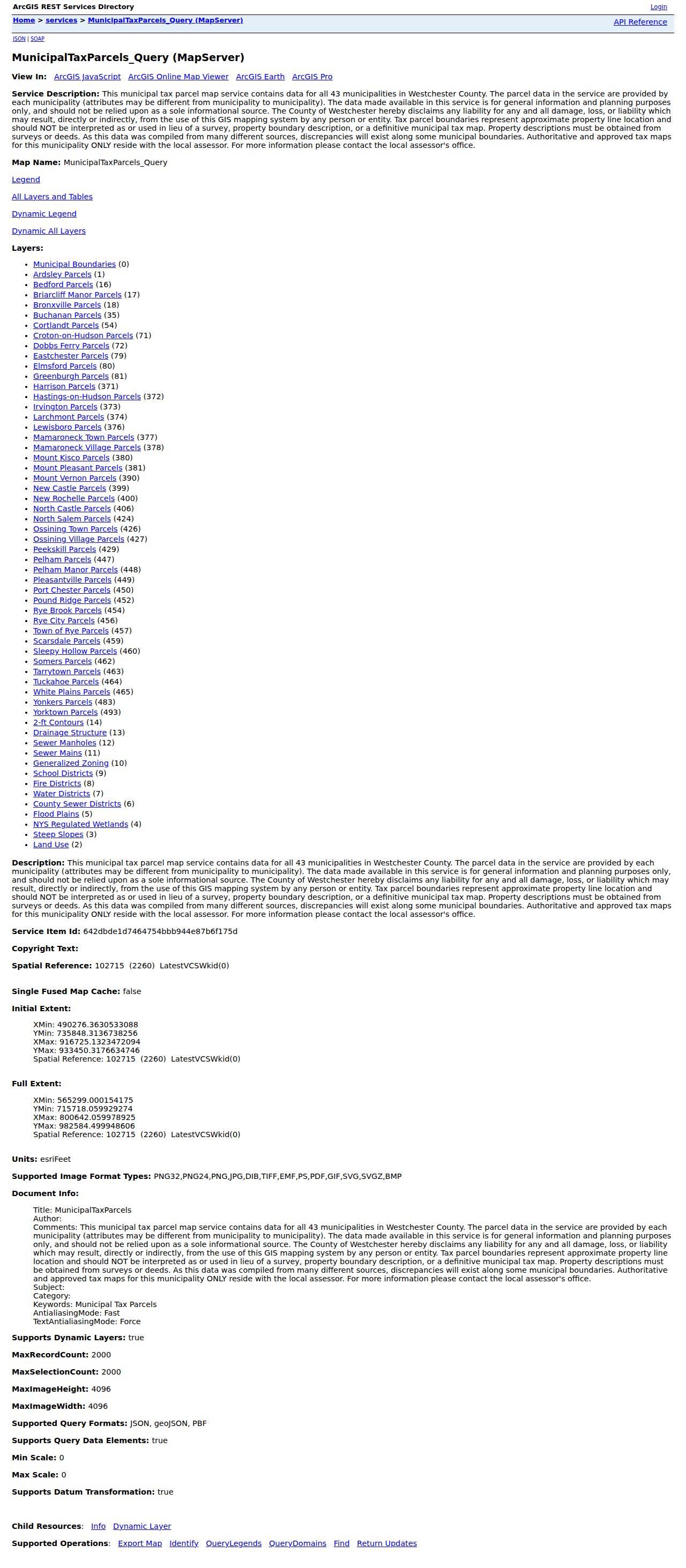
Use the service as a map and field-discovery source, then confirm a tax-map question with the local assessor. County GIS says the parcel lines are approximate, so a line on the viewer does not settle a boundary, title, or survey question.
| Address route | Useful field or key | How to read it |
|---|---|---|
| Address or street search | Situs address | Finds the parcel location; retain street variants when searching older material. |
| Parcel or SBL search | Section-Block-Lot | Best cross-system key for GIS, assessment, and deed research. |
| Owner or name search | Owner field | May name an entity, trust, estate, or mailing party rather than an occupant. |
| Municipality field | Town, Village, or other jurisdiction | Identifies the office that keeps the underlying local record. |
| Roll or spatial year | Record vintage | Shows when the assessment or map layer applies; compare later records instead of assuming it is current. |
| Mailing and situs fields | Two different addresses | The mailing field is a locate clue; the situs field is the parcel location. |
Town of Ossining Street GIS Layers
The Village Planning Department describes an interactive tax-parcel tool that covers the Town and Village and can expose Section, Block, Lot, parcel dimensions, property class, property owner, easements or rights of way, sewer information, and related GIS layers. Those layers are useful for understanding a street segment. They do not turn a map click into a complete list of people at an address. The municipal field still needs checking when a result is near a Village or Briarcliff Manor boundary.
The Village GIS mapping page describes the parcel information available through that route.
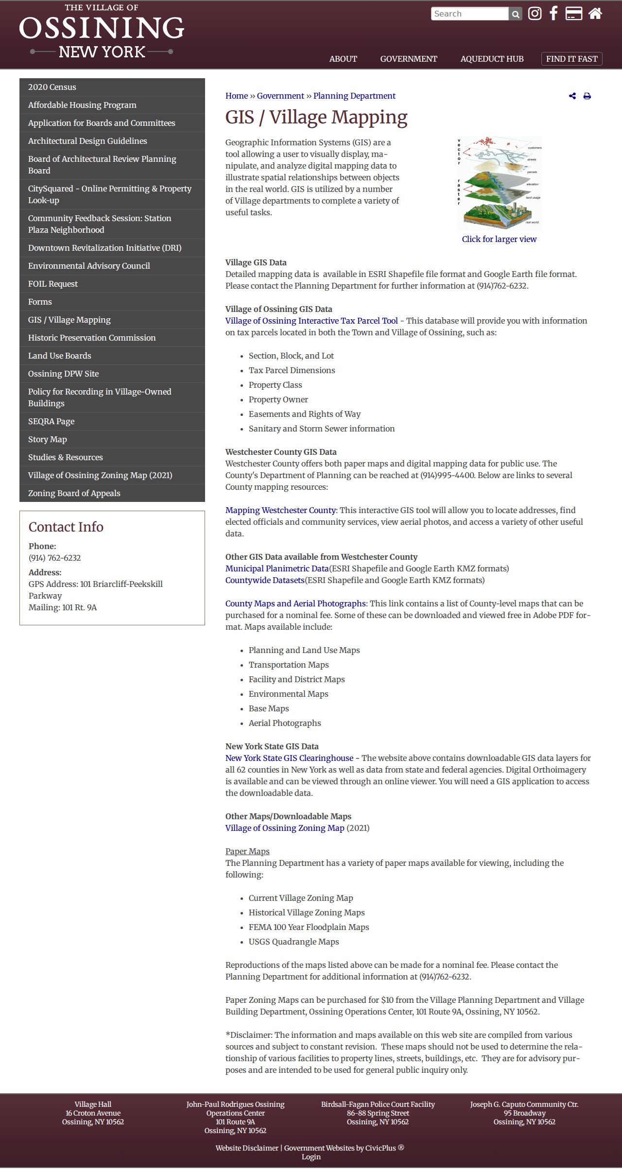
For a street segment, use identify or parcel-click functions to collect the SBL and map vintage. Land-use, floodplain, wetland, sewer, water, fire, school, drainage, and contour layers provide context, but Planning and the assessor remain the appropriate sources for a final local determination.
- Parcel
- A mapped tax or land unit. Its identifier connects the address to assessment and recorded-land research.
- Situs address
- The physical location of the parcel. It can differ from an owner or tax-bill mailing address.
- Plat or tax map
- A mapped depiction of lots and boundaries. County GIS warns that its public parcel lines are not a survey.
- Criss-cross directory
- A historical directory arranged from address to a listed occupant, usually useful only for the volume's date.
Note: Record the layer name, roll year, spatial year, and access date whenever a GIS display supports a street-level conclusion.
Town of Ossining Street Records
Address-keyed records answer different questions. The assessor and GIS tools identify a parcel and assessment context. The County Clerk's index follows recorded instruments. Building files can document a proposed or completed project. Village tax payment results describe bill status, not a full property history. Historical directories can put a named entry at an address for a specific edition. A street directory is more dependable when its claims stay inside the scope of the record used.
| Record source | Street-level use | Access and limitation |
|---|---|---|
| AxisGIS and assessor route | Parcel, owner field, class, assessment context, possible mailing address | Search or request by address, owner, or SBL; verify jurisdiction and year. |
| Westchester County GIS | Parcel sequence, acreage, and public district layers | Map browse or REST layer; parcel lines are approximate. |
| WRO and County Clerk | Deed, mortgage, lien, legal description, and recording trail | Index and images can have different access; older material moves to Archives. |
| Village CitySquared or Building | Recent Village permits, status, inspections, and comments | Registration is required; older files may remain with the department. |
| Village Finance or Town route | Tax-bill or payment context | Village paid bills drop from online display; request older history from the custodian. |
| Historic directories | Address-to-name clue for a dated edition | Use WCHS, library, or genealogy access by volume and year; it is historical evidence. |
| Election office route | Lawful registration-status or annual-list access | Not an open street-browse directory; statutory restrictions apply. |
When a property presents a boundary question, keep the Town of Ossining, Village of Ossining, Briarcliff Manor, postal city, and ZIP as separate values. Briarcliff Manor is divided between the Towns of Ossining and Mount Pleasant, so the ZIP or village label cannot decide custody on its own.
Town of Ossining Deeds by Street
Westchester Records Online, often called WRO, is the County Clerk entry point for Land, Legal, Maps, and Trades searches. For a street search, start from the parcel, address, or legal description and then inspect party names, document type, date, and municipality. WRO's live form could not be fully inspected during research because of a redirect loop. Its exact current field labels and image rules should be checked at the time of use.
A grantor is the party transferring an interest; a grantee is the party receiving it. Search the current grantee's purchase record, then search the prior owner in the opposite historical role to work backward. An index hit confirms that a name appears in an instrument index. It does not establish present residence, the complete household, or an unrecorded transfer. Obtain the image or a Clerk copy before relying on instrument language.
For older records, the Westchester County Archives research-by-mail route identifies deed grantor/grantee indexes from 1680 through 1907 and mortgage indexes from 1680 through 1897. The reading room and paid research-by-mail channel require a focused request with names, town, date range, document type, and any known series or index.
Note: Preserve the legal description and SBL with each document, because a street address alone may change or be absent from older instruments.
Town of Ossining Street Permit Files
Building and land-use files add a separate address trail. The Village's CitySquared property lookup began on September 5, 2023. Registered users can search a property and may view permit history, review status, inspections, comments, and related application activity. The system is a recent access route, so a missing earlier result is not evidence that no earlier file exists.
Village parcel research may also lead to Planning or Finance. A Village tax-bill search accepts five letters of a last name or an address beginning with the street number and five street-name letters. It shows bill types and payment results in reverse chronological order, but paid bills drop from the online display. For an older paid bill, ask Finance or the clerk for the relevant parcel and tax year. Town parcels should use the Town Receiver or Assessor route rather than assuming the Village payment portal applies.
For unincorporated areas, the local house-history route directs permit questions to the Town Building Department. Ask whether CitySquared covers the needed years or whether a paper, scanned, or department-held record is available. Keep applicant, owner, contractor, work description, inspection, status, and plan access as separate fields.
Town of Ossining Tax Bill Searches
The Village's online tax-bill search is another address-based route, but it has a narrow purpose. It accepts either five letters of a last name or a property address beginning with the street number and the first five letters of the street name. Results can identify bill types such as first-installment Village tax, second-installment Village tax, and tax lien, and the payment display is arranged in reverse chronological order. This is payment context for a particular parcel, not a complete address roster or a substitute for title research.
Paid bills drop from the Village's online display. Their absence is not proof that a bill never existed or that a parcel lacks a tax history. Card and eCheck convenience fees apply to the payment route. For an older paid bill, send Finance or the clerk a focused request with the parcel and tax year. A Town parcel should use the Town Receiver or Assessor route instead of assuming the Village payment system covers it. The research identifies the Town Receiver at (914) 762-8279 and the Town Assessor at (914) 762-8274; current hours and records access should be confirmed before contact.
Note: Keep bill status, payment history, assessment data, and recorded ownership as separate record categories when documenting a Town of Ossining address.
Town of Ossining Voter Street Limits
The public-facing New York voter lookup is a person-level status tool. It requests identifying inputs, including name, date of birth, county, and address information, and supports registration, polling-place, and mail-ballot functions. It is not a public street directory. Do not test or publish another person's lookup result, and do not use a no-result response as proof that someone does not live in Town of Ossining.
New York Election Law makes registration records public with important exclusions, and the State Board says registration information may not be used for non-election purposes. Annual lists have their own street, number, or alphabetical arrangement rules, while the statewide interactive list has a different role. A focused request to the relevant election custodian should name the election district, year, record type, and requested inspection or copy format. The state FOIL guidance is the official starting point for state-held requests.
Town of Ossining Street Labels Over Time
Historic research needs more than the modern postal label. The Village of Sing Sing became Ossining on March 25, 1901, and Sparta was annexed in 1906. A deed, map, directory, or newspaper may therefore use Sing Sing, Sparta, Scarborough, or another period label rather than a current address form. Search both the source spelling and a normalized street key, but keep the original label in notes and citations.
Sanborn map leads include Sing Sing editions for 1886, 1891, and 1897, then Ossining editions for 1903, 1911, and 1924. They can show a street grid, building footprint, use, materials, and nearby structures for their mapped date. They are not title records and do not prove current occupancy. The Library of Congress Ossining Sanborn search is the appropriate catalog route, with title, sheet, date, and place name verified before citation.
For a dated occupant clue, the historical volumes are described on the Town of Ossining Directory Book. Pair a volume with its year, source title, and page rather than carrying a historical entry forward as a current address claim.
Limits on Town of Ossining Street Searches
No official source found in the research lists every person on a Town of Ossining street. Parcel and deed records concern property interests. A map can identify nearby lots. A permit file documents a project or application. A dated directory may list an historical entry. DMV personal information is restricted, and utility or delivery customer lists are not public. Protected addresses also require special care.
The New York Address Confidentiality Program can provide eligible participants a substitute mailing address in covered government records. A substitute address is not evidence of a person's actual location, and it must never be reverse-engineered from other records. If a result carries uncertain jurisdiction, retain the ambiguity and ask the assessor, clerk, or relevant custodian for the narrow record needed.
Lawful use. Town of Ossining address records support family history, house research, civic questions, and personal verification. Do not use them to stalk, harass, intimidate, or attempt to identify a protected person's location.